|
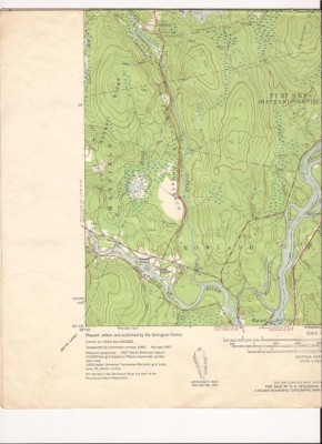
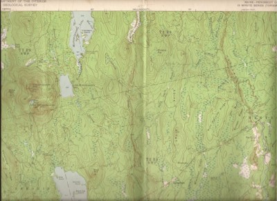
You are bidding on a 1957 United States Department of Interior Geological Survey 15 minute topographic map. It is 16 W x21H, scale 1:62500, Contour Interval 20 feet Covers N4515-W6830/15
NOTE: All of my topo maps are folded in quarters..Howland, Enfield, Piscataquis River, Mattamiscontis.. They will be mailed flat. Some have a little yellowing in the white area (Not much)..In lower right someone has circled the location of thier camp.
These are being sold cheap because they are folded. They still are very usable. I will combine shipping if you order more than one. If you need a scan or have a question please e-mail me..
|