|
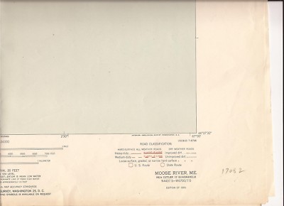
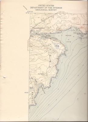
You are bidding on a 1951, ME United States Department of Interior Geological Survey 7.5 minute topographic map. It is 21" W x27 H, scale 1:24000, Contour Interval 20 feet.. Eastern Head, Trescott..One tear in white, bottom white wrinkled with some yelowing/browning.. NOTE: All of my topo maps are folded in quarters.. They will be mailed flat. .. .
These are being sold cheap because they are folded. They still are very usable. I will combine shipping if you order more than one. If you need a scan or have a question please e-mail me..
|